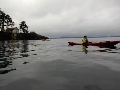
Five paddlers were met with rain and calm winds for an adventure leaving Washington Park in Anacortes with a plan to take a clockwise route around Burrows and Allen islands. After a brief safety discussion including an anonymous risk assessment, we headed out promptly at 9 a.m. Departing on the first hour of a flood tide with a moderate exchange, we encountered a small current as we headed east through Burrows Pass. As we crossed the channel, we met no other boat traffic. Coming around the NE corner of Burrows is where you will encounter the most current as water converges into the small channel. This can be a challenging area with a strong current. We made a brief stop to checkout the campground on the east side of the island then continued on to Allen Island. Our Burrows and Allen island adventure was pleasant, not sunny! As our group neared the island, some construction activity on the dock caught our eye and we decided to take a closer look. It appears th...
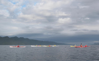
This was a 6-day trip to the God's Pocket area off the northeast coast of Vancouver Island. Prior to the trip we held a planning meeting to review individual responsibilities, develop our trip plan, our paddle plan and our travel plans to Port Hardy, British Columbia. Saturday July 6th Group members toured the town of Port Hardy, visited the museum, coffee shops, bakery and lone grocery store. Late afternoon we assembled at The Sporty (a local watering hole) to firm up the launch time, launch location (Carrot Park), review segment leaders and parking for the trip. Sunday July 7th Our 9-person group hit the water at 7:30 am under calm winds and fair skies. Our first team of leaders took us to Duval Point, then we made a left turn up Goletas Channel to Songhees Creek arriving at 9:45 am. This is a beautiful location with a year-round water supply, wilderness camping and two black bears to welcome us. Mother bear was showing junior how to search for tasty treats along the s...
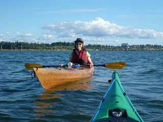
Location: West side of Whidbey Island WA, weather conditions: sun breaks with showers, mid 50's temp and winds to12K with higher gusts. Eight NSSKA paddlers launched at the Keystone Ferry landing and paddled north along the west side of Whidbey Island towards Ebey Landing. Significant tide rips guard the entrance to the ferry landing however our group expertly handled the noisy water both as we left and again when we made our way back. Along the way we saw many eagles, a group of porpoise, seals, sea birds and a very friendly red-winged blackbird that serenaded us while we enjoyed a lunch break. Traveled approximately 8 nautical miles. Fun times were had by Karen, Julia, Bonnie, Beth, Laurie, Andy, Rob and Bill.

Comments
Post a Comment